Map Scale Explained: Large-Scale vs. Small-Scale Maps Compared

Map Scale Explained: Large-Scale vs. Small-Scale Maps Compared

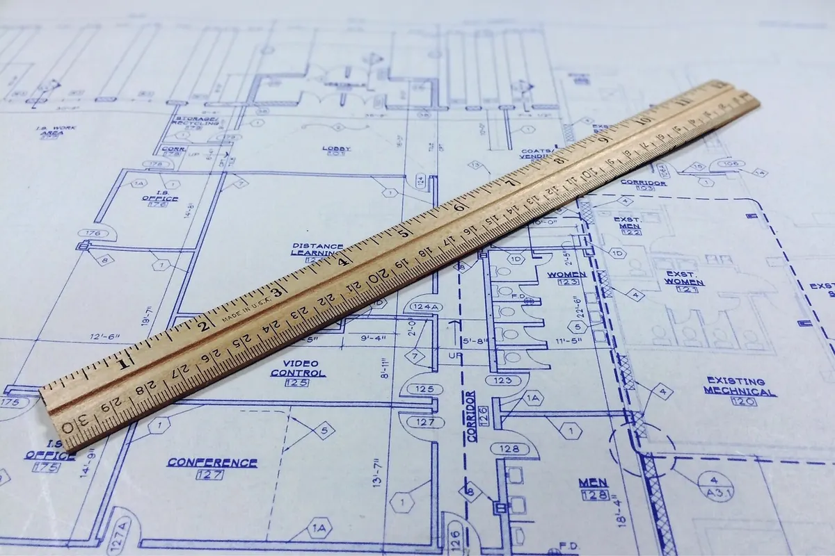
Map scale is easy to misread: large-scale maps show small areas in detail, while small-scale maps show broad regions. Here is how to choose between them.

Maps

October 29, 2026
Mapping Tower Views in an Italian Hill Town: A Local Cartography Walkthrough

Mapping Tower Views in an Italian Hill Town: A Local Cartography Walkthrough

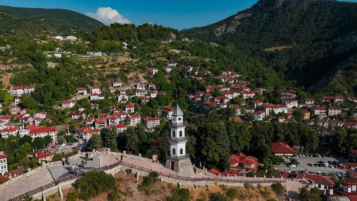
A field-by-field method for mapping viewpoints, sightlines and tower landmarks in an Italian hill town, from base map to printed walking guide.

Towers

October 27, 2026

How to Create a Simple Thematic Map for a Local History Project
More to Explore
Map Scale Explained: Large-Scale vs. Small-Scale Maps Compared

Map Scale Explained: Large-Scale vs. Small-Scale Maps Compared

Map scale is easy to misread: large-scale maps show small areas in detail, while small-scale maps show broad regions. Here is how to choose between them.

Maps

October 29, 2026

How to Create a Simple Thematic Map for a Local History Project

How to Create a Simple Thematic Map for a Local History Project

Cartography

October 25, 2026

A practical walkthrough for local history groups: how to choose one clear theme, gather and record local evidence, and design a thematic...

Read More
Common Mistakes in Digitizing Old Maps and How to Avoid Them

Common Mistakes in Digitizing Old Maps and How to Avoid Them

Cartography

October 17, 2026

A practical guide to the scanning, georeferencing, and file-management errors that quietly degrade historical map digitization — and the...

Read More
Cartography Basics: A Beginner's Guide to Map Projections and Distortion

Cartography Basics: A Beginner's Guide to Map Projections and Distortion

Cartography

October 10, 2026

Every flat map distorts something. Here's how projections trade shape, area, distance and direction — and how to pick the right one for...

Read More
Tower Symbols on Historical Maps: How to Identify and Interpret Them

Tower Symbols on Historical Maps: How to Identify and Interpret Them

Towers

October 12, 2026

Old maps turned towers into shorthand for defence, faith, and communication. Learn to read their legends, shapes, and context clues with...

Read More
Latitude and Longitude for Beginners: How to Use Coordinates Without Getting Lost
Geography

October 23, 2026

Latitude and Longitude for Beginners: How to Use Coordinates Without Getting Lost

A plain-language guide to latitude and longitude: what the two numbers measure, the three formats you'll meet, which one comes first,...

read more
Mapping Tower Views in an Italian Hill Town: A Local Cartography Walkthrough
Towers

October 27, 2026

Mapping Tower Views in an Italian Hill Town: A Local Cartography Walkthrough

A field-by-field method for mapping viewpoints, sightlines and tower landmarks in an Italian hill town, from base map to printed walking guide.

read more
How to Create a Simple Thematic Map for a Local History Project
Why Towers Were Mapped: A Short History of Watchtowers and Signal Towers in Cartography
Winter Trail Navigation: How to Read Maps When Landmarks Are Snow-Covered
Antique Map Buying Checklist: How to Evaluate Condition Before You Purchase
History

October 18, 2026

Antique Map Buying Checklist: How to Evaluate Condition Before You Purchase

A practical field guide to judging antique map condition — foxing, tears, trimming, repairs, backing and later colour — so you know...

read more
Common Mistakes in Digitizing Old Maps and How to Avoid Them
Cartography

October 17, 2026

Common Mistakes in Digitizing Old Maps and How to Avoid Them

A practical guide to the scanning, georeferencing, and file-management errors that quietly degrade historical map digitization — and the...

read more
Road Maps vs. Topographic Maps: How to Choose the Right Map for Trip Planning
Tower Symbols on Historical Maps: How to Identify and Interpret Them
Cartography Basics: A Beginner's Guide to Map Projections and Distortion